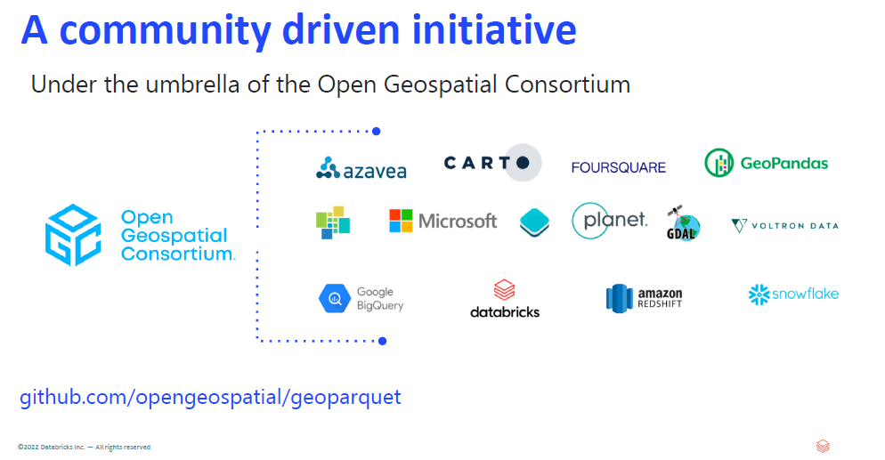
Recently, I watched a webinar hosted by TDWI, Databricks and Carto. The topic was Unlocking the Power of Spatial Analysis and Data Lakehouses. A copy of the webinar and the slide deck shared is available here. What I liked about the session was the use of Databricks and a Data Lake to provide Spatial Data. There was also a brief discussion on the role of the Open Geospatial Consortium. This group is working on the specifications for creating a geoparquet file. For anyone with an interest in GIS, Mapping, Data and Analytics this is worth checking out!